Skip to Main Content

Drones/Quadcopters for Data Collection

Tips and tricks for data collection by aerial capture.

WUSTL Projects

In the field

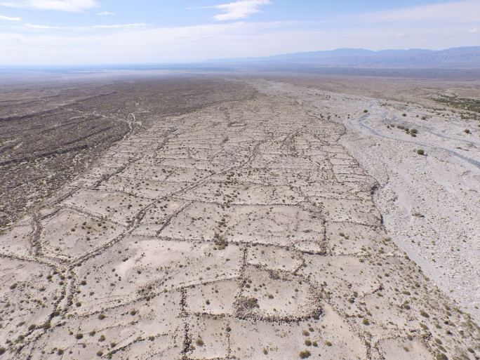
        Aerial photo of Mohuchahangoukou (MGK) site in Xinjiang, China. Photo by Yuqi Li


                                            A map of MGK, created from drone aerial photos.


                              A Digital Surface Model of a portion of the ancient irrigation system at MGK