a. Check weather conditions, particularly wind velocity (need to be lower than 10 m/s for the safety of the DJI drones). Stable light condition is also preferred to achieve best results. Aviation weather https://www.aviationweather.gov/
b. Fully charge all the batteries, the controller, and the monitor device.
c. Lay out the GCP markers in the landscape according to your plan and map their centers with surveying equipment.
Additional information related to setting up ground control points: http://syn-geo.com/2017/02/14/guidelines-for-setting-ground-control-points/
d. Design tracks with flight control software and download offline maps. Although it possible to manually fly drones during the survey particularly for small survey areas, it is always recommended to design tracks with flight control software and fly drones autonomously. This not only saves time, but also ensures the best result. One of the most powerful and easy to use apps for this purpose in the market is DroneDeploy (https://www.dronedeploy.com). This free app "provides easy automated flight and data capture, and enables you to explore and share high quality interactive maps in the field directly from your mobile device." Features of this app are described by DroneZon as below.
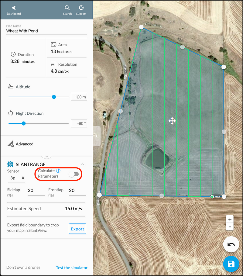
Tips for setting parameters in DroneDeploy:
e. Execute the survey on cloudy days or around noon on sunny days to reduce the impact of long shadows on the quality of aerial photos
f. Camera settings:
g. Launch the drone and execute the survey. To ensure the DroneDeploy software functions properly, make sure you close the DJI Go software.
h. Take out the micro SD card and migrate all data onto your laptop after each flight.
i. Visually check the quality of your photos on your laptop. If there many photos for a certain portion of your survey area are blurry or of low quality for other reasons, you may need to conduct another round of aerial survey for that particular portion. Always make sure you take more photos than you need, as sometimes it is not easy to get back to your survey area. (If you have Agisoft Photoscan or other photogrammtry software installed on your laptop, you may also check the distribution of your images to make sure there is no big gaps between photos.)